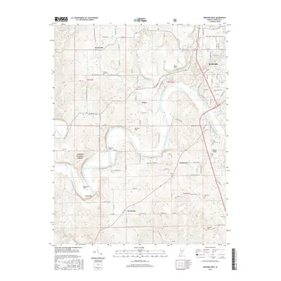
2016 Map of Bedford West
USGS Topo · Published 2016About this map
Fayetteville and Bryantsville anchor the western reaches of Lawrence County in this 2016 survey, a landscape defined by the wide, winding course of the East Fork White River. The river creates significant geographical features like Gyger Bend and Horseshoe Bend, carving through the Mitchell Plain and the eastern edge of the Hoosier National Forest. The map captures a mix of rural crossroads and established residential pockets, including Coxton and Hartleyville.
Find a feature on this map
105 named features on this map. Tap any name to fly to it.
Don’t see what you’re looking for? This feature index may not catch every label — zoom into the map to look around manually.
Map Details
Editions of this 2016 Bedford West Map
This is the sole edition of this map. No revisions or reprints were ever made.
Other maps of this area
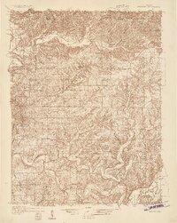
1934 · Bedford
USGS Topo · 1:48,000
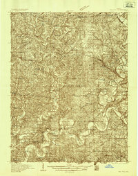
1935 · Oolitic
USGS Topo · 1:48,000
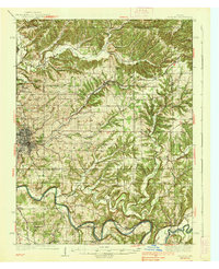
1937 · Bedford
USGS Topo · 1:62,500
1942 · Oolitic
USGS Topo · 1:62,500
1948 · Huron
USGS Topo · 1:24,000
1949 · Georgia
USGS Topo · 1:24,000
1950 · Mitchell
USGS Topo · 1:24,000
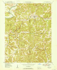
1950 · Huron
USGS Topo · 1:24,000
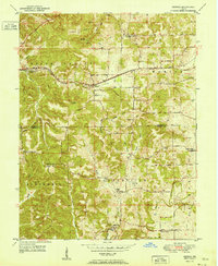
1951 · Georgia
USGS Topo · 1:24,000

1956 · Vincennes
USGS Topo · 1:250,000