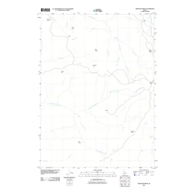
2010 Map of Bedstead Ridge
USGS Topo · Published 2010About this map
Middle Fork Owyhee River carves through this remote Owyhee County landscape, serving as a central hydrologic artery for the high desert terrain. The map captures a high-elevation network of ridges and flats, including the prominent Bedstead Ridge and the broad Stauffer Flat to the east. Human presence is marked by isolated outposts such as Payne Cabin in the north and Post Camp situated near Peach Creek.
Find a feature on this map
31 named features on this map. Tap any name to fly to it.
Don’t see what you’re looking for? This feature index may not catch every label — zoom into the map to look around manually.
Map Details
Editions of this 2010 Bedstead Ridge Map
This is the sole edition of this map. No revisions or reprints were ever made.
Other maps of this area

1955 · Jordan Valley
USGS Topo · 1:250,000

1957 · Jordan Valley
USGS Topo · 1:250,000

1958 · Jordan Valley
USGS Topo · 1:250,000

1973 · Red Basin
USGS Topo · 1:24,000

1973 · Smith Creek
USGS Topo · 1:24,000

1973 · Bedstead Ridge
USGS Topo · 1:24,000

1973 · Pleasant Valley
USGS Topo · 1:24,000

1973 · Fairylawn
USGS Topo · 1:24,000
1977 · Bull Basin Camp
USGS Topo · 1:24,000

1980 · Brewster Reservoir
USGS Topo · 1:24,000