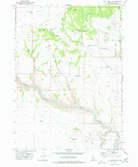
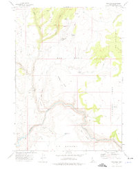
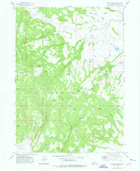
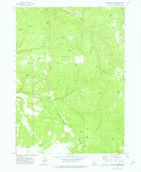
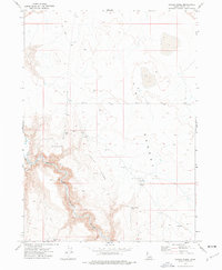
1977 Map of Bull Basin Camp
USGS Topo · Published 1977About this map
The remote high-desert interior of Owyhee County is mapped here in detail, centered on the Bull Basin Camp and the winding canyons of the southern Idaho rangelands. The landscape is defined by its vital water sources, from major arteries like the Owyhee River and the South Fork Owyhee River to numerous isolated water holes such as Ross Spring, Skamfer Spring, and Antelope Spring. This 1970s survey illustrates a region shaped by livestock management, where a network of Jeep Trails connects various corrals and man-made catchments like Bald Mountain Reservoir and Long Pull Reservoir. The terrain transitions from the elevated Rock Flat in the northwest across Bald Mountain into the deep incision of Dukes Canyon, reflecting a rugged pastoral economy dependent on scattered springs like the Head of the Ditch Springs to sustain movement across Wilson Pasture.
Find a feature on this map
29 named features on this map. Tap any name to fly to it.
Don’t see what you’re looking for? This feature index may not catch every label — zoom into the map to look around manually.
Map Details
Editions of this 1977 Bull Basin Camp Map
This is the sole edition of this map. No revisions or reprints were ever made.
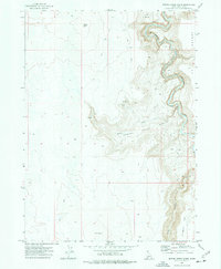
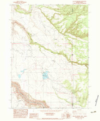
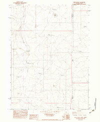
Other maps of this area

1955 · Jordan Valley
USGS Topo · 1:250,000

1957 · Jordan Valley
USGS Topo · 1:250,000

1958 · Jordan Valley
USGS Topo · 1:250,000
1973 · Red Basin
USGS Topo · 1:24,000
1973 · Smith Creek
USGS Topo · 1:24,000
1973 · Bedstead Ridge
USGS Topo · 1:24,000
1973 · Grassy Ridge
USGS Topo · 1:24,000
1973 · Spring Creek Basin
USGS Topo · 1:24,000
1982 · Deacon Crossing
USGS Topo · 1:24,000
1982 · Defeat Butte
USGS Topo · 1:24,000