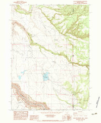
1982 Map of Deacon Crossing
USGS Topo · Published 1983About this map
The Owyhee River carves a deep path through this high desert borderland, serving as the central topographical anchor for a landscape defined by water management and remote grazing. In the early 1980s, the area's geography was characterized by numerous small-scale water projects designed to sustain life in the Pole Creek Basin, including The Difficulty Reservoir and the Sharon Creek Reservoir. The presence of an Airstrip near Deacon Field suggests the necessity of aerial access for managing this expansive rangeland.
Find a feature on this map
22 named features on this map. Tap any name to fly to it.
Don’t see what you’re looking for? This feature index may not catch every label — zoom into the map to look around manually.
Map Details
Editions of this 1982 Deacon Crossing Map
This is the sole edition of this map. No revisions or reprints were ever made.
Other maps of this area

1955 · Jordan Valley
USGS Topo · 1:250,000

1957 · Jordan Valley
USGS Topo · 1:250,000

1958 · Jordan Valley
USGS Topo · 1:250,000

1973 · Bedstead Ridge
USGS Topo · 1:24,000

1973 · Fairylawn
USGS Topo · 1:24,000
1977 · Bull Basin Camp
USGS Topo · 1:24,000

1980 · Brewster Reservoir
USGS Topo · 1:24,000

1980 · Three Forks
USGS Topo · 1:24,000
1982 · Rawhide Pocket
USGS Topo · 1:24,000
1982 · Beaver Charlie Breaks
USGS Topo · 1:24,000