
1973 Map of Spring Creek Basin
USGS Topo · Published 1977About this map
South Fork Owyhee River and the Little Owyhee River converge within this high-desert landscape in the early 1970s, carving deep canyons through Owyhee County. The terrain is defined by the broad Spring Creek Basin and elevations like Spring Butte and Juniper Basin. Evidence of land use is sparse, marked primarily by a lone Corral and a network of Jeep Trails and unnamed Trails that navigate the ridges and canyon rims. The presence of a Cave and various isolated Springs highlights the fundamental importance of water and shelter in this arid environment. To the southeast, the geography levels out at Halogeton Flat, showing the transition from dramatic river-cut basalt canyons to more uniform plateau surfaces.
Find a feature on this map
14 named features on this map. Tap any name to fly to it.
Don’t see what you’re looking for? This feature index may not catch every label — zoom into the map to look around manually.
Map Details
Editions of this 1973 Spring Creek Basin Map
This is the sole edition of this map. No revisions or reprints were ever made.
Other maps of this area

1955 · Jordan Valley
USGS Topo · 1:250,000

1957 · Jordan Valley
USGS Topo · 1:250,000

1958 · Jordan Valley
USGS Topo · 1:250,000

1973 · Coyote Hole
USGS Topo · 1:24,000

1973 · Red Basin
USGS Topo · 1:24,000

1973 · Grassy Ridge
USGS Topo · 1:24,000
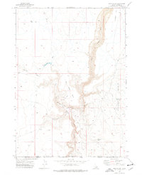
1973 · Star Valley
USGS Topo · 1:24,000
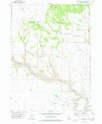
1977 · Bull Basin Camp
USGS Topo · 1:24,000
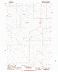
1982 · Star Valley Knoll
USGS Topo · 1:24,000
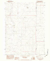
1982 · Defeat Butte
USGS Topo · 1:24,000