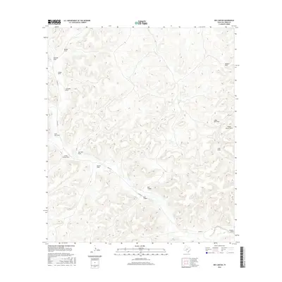
2016 Map of Bee Canyon
USGS Topo · Published 2016About this map
Juno Springs and the surrounding canyonlands of Val Verde County define this arid West Texas landscape. The map centers on the winding course of Bee Canyon and Mud Canyon, where traditional water management features like Finney Tank and Two Section Tank reveal the vital necessity of water in this ranching environment. The terrain is deeply incised by numerous named ephemeral drainages, including Leonedas Draw, Edwards Draw, and Steel Star Draw. A single primary artery, Juno Rd W, provides the principal overland access through the region, connecting the scattered draws and pasture lands. The nomenclature found throughout the sheet, from Sulfur Well Draw to Rough Pasture Draw, reflects a landscape utilized for livestock and resource extraction, where every well and spring serves as a critical landmark for local navigation and land management.
Find a feature on this map
34 named features on this map. Tap any name to fly to it.
Don’t see what you’re looking for? This feature index may not catch every label — zoom into the map to look around manually.
Map Details
Editions of this 2016 Bee Canyon Map
This is the sole edition of this map. No revisions or reprints were ever made.
Other maps of this area

1954 · Sonora
USGS Topo · 1:250,000

1958 · Sonora
USGS Topo · 1:250,000

1970 · Aermotor Draw
USGS Topo · 1:24,000

1970 · Juno
USGS Topo · 1:24,000

1970 · Steel Star Draw
USGS Topo · 1:24,000

1970 · Indian Draw
USGS Topo · 1:24,000

1970 · Sycamore Canyon
USGS Topo · 1:24,000

1970 · Blue Hills
USGS Topo · 1:24,000

1970 · Bee Canyon
USGS Topo · 1:24,000

1970 · Brushy Draw
USGS Topo · 1:24,000