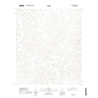
2019 Map of Bee Canyon
USGS Topo · Published 2019About this map
Juno Springs serves as a critical watering point in this arid stretch of Val Verde County, where the desert landscape is defined by an intricate network of drainage channels. The topographic detail reveals a rugged territory dominated by major relief features like Bee Canyon and Mud Canyon, which channel seasonal runoff toward the south and east.
Find a feature on this map
18 named features on this map. Tap any name to fly to it.
Don’t see what you’re looking for? This feature index may not catch every label — zoom into the map to look around manually.
Map Details
Editions of this 2019 Bee Canyon Map
This is the sole edition of this map. No revisions or reprints were ever made.
Other maps of this area

1954 · Sonora
USGS Topo · 1:250,000

1958 · Sonora
USGS Topo · 1:250,000

1970 · Aermotor Draw
USGS Topo · 1:24,000

1970 · Juno
USGS Topo · 1:24,000

1970 · Steel Star Draw
USGS Topo · 1:24,000

1970 · Indian Draw
USGS Topo · 1:24,000

1970 · Sycamore Canyon
USGS Topo · 1:24,000

1970 · Blue Hills
USGS Topo · 1:24,000

1970 · Bee Canyon
USGS Topo · 1:24,000

1970 · Brushy Draw
USGS Topo · 1:24,000