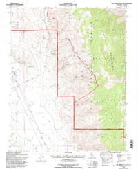
1994 Map of Bee Springs Canyon
USGS Topo · Published 1997About this map
Mining operations and water management systems define this mid-1990s landscape along the eastern flank of the Owens Valley. The presence of the Mc Iver Canal and Eclipse Ditch near the Owens River indicates a sophisticated irrigation infrastructure, while the high elevations are marked by a legacy of extraction. Deep in the canyons of the Inyo Mountains, sites like the Black Eagle Mine, Copper Queen Mine, and the Old Whiteside Diggings point to a history of prospecting in a landscape that has since been designated as the Inyo Mountains Wilderness. The transition from industrial use to conservation is evidenced by an Old Railroad Grade running parallel to the valley floor. Higher up, the Winneman Paiute Monument serves as a cultural landmark overlooking Bee Springs Canyon and the surrounding desert peaks.
Find a feature on this map
29 named features on this map. Tap any name to fly to it.
Don’t see what you’re looking for? This feature index may not catch every label — zoom into the map to look around manually.
Map Details
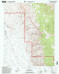
Editions of this 1994 Bee Springs Canyon Map
2 editions found
Other maps of this area

1907 · Mt. Whitney
USGS Topo · 1:125,000

1908 · Ballarat
USGS Topo · 1:250,000

1913 · Ballarat
USGS Topo · 1:250,000

1919 · Mt. Whitney
USGS Topo · 1:125,000

1937 · Mt. Whitney
USGS Topo · 1:125,000

1948 · Death Valley
USGS Topo · 1:250,000

1948 · Fresno
USGS Topo · 1:250,000

1950 · New York Butte
USGS Topo · 1:62,500

1951 · New York Butte
USGS Topo · 1:62,500

1951 · Waucoba Wash
USGS Topo · 1:62,500