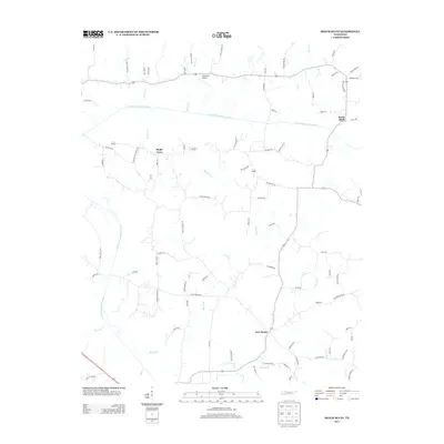
2013 Map of Beech Bluff
USGS Topo · Published 2013About this map
Maple Grove and Beech Bluff define the settled landscape of this Madison County region in 2013, situated within the drainage systems of the Forked Deer River. The topography is shaped by the N Fork Forked Deer River and its counterpart, the S Fork Forked Deer River, which cut through a network of creeks and branches including Marlin Cr and Bear Cr. This period shows a rural environment where aviation interests meet traditional agriculture, centered around the Southfork Airport and the small crossroads at Five Points.
Find a feature on this map
81 named features on this map. Tap any name to fly to it.
Don’t see what you’re looking for? This feature index may not catch every label — zoom into the map to look around manually.
Map Details
Editions of this 2013 Beech Bluff Map
This is the sole edition of this map. No revisions or reprints were ever made.
Other maps of this area

1950 · Jackson South
USGS Topo · 1:24,000

1950 · Jackson North
USGS Topo · 1:24,000

1951 · Jackson North
USGS Topo · 1:24,000

1953 · Claybrook
USGS Topo · 1:24,000

1953 · Beech Bluff
USGS Topo · 1:24,000

1955 · Luray
USGS Topo · 1:24,000

1955 · Juno
USGS Topo · 1:24,000

1956 · Blytheville
USGS Topo · 1:250,000

1959 · Blytheville
USGS Topo · 1:250,000

1961 · Medon
USGS Topo · 1:24,000