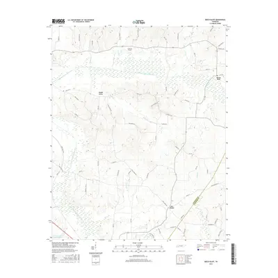
2016 Map of Beech Bluff
USGS Topo · Published 2016About this map
The North Fork Forked Deer River and South Fork Forked Deer River define the hydraulic character of this Tennessee landscape, creating broad wetland corridors that separate the upland settlements. In the center of the quadrangle, Maple Grove sits atop the drainage divide, while the community of Beech Bluff occupies the eastern edge near Bear Cr. The southern portion of the map transitions into the drainage area for Finger Cr and Hunters Cr, marked by the small crossroads of Five Points. This modern survey documents a rural environment where aviation meets agriculture at Southfork Airport, and where local water management is represented by Tennessee Sheriffs Youthtown Lake. The map is heavily detailed with named country lanes, including Potts Chapel Rd and Harts Bridge Rd, which trace the historic movement patterns between these Madison County hamlets.
Find a feature on this map
70 named features on this map. Tap any name to fly to it.
Don’t see what you’re looking for? This feature index may not catch every label — zoom into the map to look around manually.
Map Details
Editions of this 2016 Beech Bluff Map
This is the sole edition of this map. No revisions or reprints were ever made.
Other maps of this area

1950 · Jackson South
USGS Topo · 1:24,000

1950 · Jackson North
USGS Topo · 1:24,000

1951 · Jackson North
USGS Topo · 1:24,000

1953 · Claybrook
USGS Topo · 1:24,000

1953 · Beech Bluff
USGS Topo · 1:24,000

1955 · Luray
USGS Topo · 1:24,000

1955 · Juno
USGS Topo · 1:24,000

1956 · Blytheville
USGS Topo · 1:250,000

1959 · Blytheville
USGS Topo · 1:250,000

1961 · Medon
USGS Topo · 1:24,000