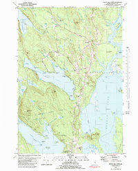
1981 Map of Beech Hill Pond
USGS Topo · Published 1982About this map
Beech Hill Pond sits at the heart of this landscape, surrounded by the townships of Otis, Mariaville, and Ellsworth. The 1980s terrain is characterized by a dense network of interior waters, from Graham Lake in the southeast to the secluded Floods Pond in the northwest. Local education and community life center on the Beech Hill Sch and the Town Landing, while the presence of several gravel pits suggests the local importance of aggregate mining for road building and maintenance.
Find a feature on this map
92 named features on this map. Tap any name to fly to it.
Don’t see what you’re looking for? This feature index may not catch every label — zoom into the map to look around manually.
Map Details
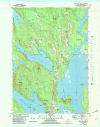
Editions of this 1981 Beech Hill Pond Map
2 editions found
Other maps of this area

1900 · Orland
USGS Topo · 1:62,500

1902 · Orono
USGS Topo · 1:62,500

1911 · Ellsworth
USGS Topo · 1:62,500

1929 · Great Pond
USGS Topo · 1:48,000

1932 · Great Pond
USGS Topo · 1:62,500

1940 · Ellsworth
USGS Topo · 1:62,500

1942 · Orland
USGS Topo · 1:62,500

1942 · Ellsworth
USGS Topo · 1:62,500

1944 · Orono
USGS Topo · 1:62,500

1946 · Orono
USGS Topo · 1:62,500