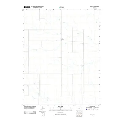
2009 Map of Beeler SE
USGS Topo · Published 2009About this map
Manteno Community Hall stands as a primary landmark in this rural section of Ness County, where the landscape is defined by the intermittent drainage patterns of the High Plains. The drainage systems of Plum Creek and Guzzlers Gulch carve subtle paths through the terrain, with South Fork Guzzlers Gulch joining the network as it flows eastward. This early 21st-century survey reflects a vast agricultural area anchored by a simple grid of county roads, including Co Rd 528 and Co Rd 628, which serve the isolated homesteads and community hubs that persist in this sparsely populated portion of western Kansas.
Find a feature on this map
6 named features on this map. Tap any name to fly to it.
Don’t see what you’re looking for? This feature index may not catch every label — zoom into the map to look around manually.
Map Details
Editions of this 2009 Beeler SE Map
This is the sole edition of this map. No revisions or reprints were ever made.
Other maps of this area

1892 · Ness
USGS Topo · 1:125,000

1894 · Ness
USGS Topo · 1:125,000

1955 · Great Bend
USGS Topo · 1:250,000

1955 · Scott City
USGS Topo · 1:250,000

1957 · Great Bend
USGS Topo · 1:250,000

1958 · Great Bend
USGS Topo · 1:250,000

1958 · Scott City
USGS Topo · 1:250,000

1965 · Beeler
USGS Topo · 1:24,000

1966 · Ness City
USGS Topo · 1:24,000

1966 · Laird
USGS Topo · 1:24,000