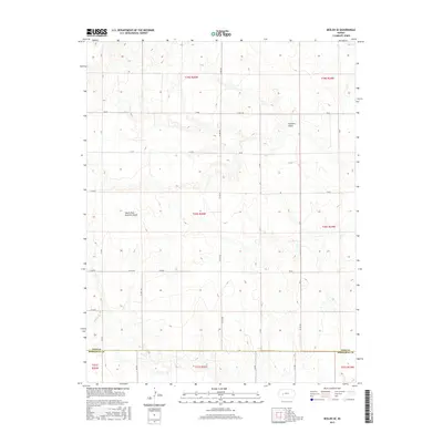
2015 Map of Beeler SE
USGS Topo · Published 2015About this map
The dry drainage systems of Guzzlers Gulch and its South Fork dominate this high plains landscape on the border of Ness and Hodgeman counties. In this transition between the High Plains and the Smoky Hills, the topography is defined by subtle elevation changes and a rigid grid of section-line roads, such as Co Rd 525 and W 40 Rd. The map illustrates a strictly rural environment, showing the intersection of Ness and Hodgeman County lines. Small intermittent watercourses like Plum Cr trace the floor of these shallow valleys, which provided essential drainage for ranching and dryland farming operations. This 2015 survey reflects the enduring homestead-era land divisions, marked by township and range identifiers like t20s r25w, where modern county roads still follow the original boundaries established by the Public Land Survey System.
Find a feature on this map
34 named features on this map. Tap any name to fly to it.
Don’t see what you’re looking for? This feature index may not catch every label — zoom into the map to look around manually.
Map Details
Editions of this 2015 Beeler SE Map
This is the sole edition of this map. No revisions or reprints were ever made.
Other maps of this area

1892 · Ness
USGS Topo · 1:125,000

1894 · Ness
USGS Topo · 1:125,000

1955 · Great Bend
USGS Topo · 1:250,000

1955 · Scott City
USGS Topo · 1:250,000

1957 · Great Bend
USGS Topo · 1:250,000

1958 · Great Bend
USGS Topo · 1:250,000

1958 · Scott City
USGS Topo · 1:250,000

1965 · Beeler
USGS Topo · 1:24,000

1966 · Ness City
USGS Topo · 1:24,000

1966 · Laird
USGS Topo · 1:24,000