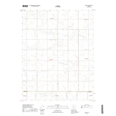
2018 Map of Beeler SE
USGS Topo · Published 2018About this map
Guzzlers Gulch and its tributary, the South Fork Guzzlers Gulch, carve a distinct drainage pattern across this high plains landscape on the border of Ness and Hodgeman Counties. The terrain is characterized by broad agricultural sections divided by a rigorous grid of section-line roads, including Cr 60 and Co Rd 528. This map captures the rural infrastructure of the late 2010s, showing the precise surveyed boundaries between Ness Co and Hodgeman Co. Further south, the headwaters of Plum Cr introduce more varied elevation as the land slopes toward the creek bed. While primarily an open landscape, the density of numbered routes like Co Rd 523 and Cr 50 reveals the enduring importance of the Public Land Survey System in organizing West-Central Kansas habitation.
Find a feature on this map
22 named features on this map. Tap any name to fly to it.
Don’t see what you’re looking for? This feature index may not catch every label — zoom into the map to look around manually.
Map Details
Editions of this 2018 Beeler SE Map
This is the sole edition of this map. No revisions or reprints were ever made.
Other maps of this area

1892 · Ness
USGS Topo · 1:125,000

1894 · Ness
USGS Topo · 1:125,000

1955 · Great Bend
USGS Topo · 1:250,000

1955 · Scott City
USGS Topo · 1:250,000

1957 · Great Bend
USGS Topo · 1:250,000

1958 · Great Bend
USGS Topo · 1:250,000

1958 · Scott City
USGS Topo · 1:250,000

1965 · Beeler
USGS Topo · 1:24,000

1966 · Ness City
USGS Topo · 1:24,000

1966 · Laird
USGS Topo · 1:24,000