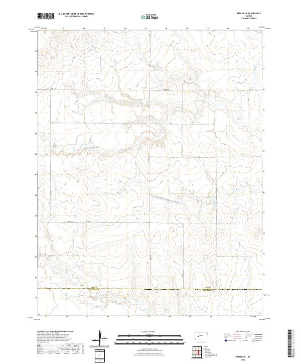
2022 Map of Beeler SE
USGS Topo · Published 2022About this map
The boundary line between Ness Co Hodgeman Co anchors this rural landscape in western Kansas, where a strictly geometric section-line road network overlays the natural drainage patterns of the high plains. Tributaries of Plum Cr wind through the southern sections, while the drainage of Guzzlers Gulch and the South Fork Guzzlers Gulch carve subtle relief into the northern and central townships. The infrastructure is defined by a dense grid of township and range roads, including Co Rd 523, W 20 Rd, and Y Rd, which facilitate access across the expansive agricultural tracts of t20s r25w and t20s r24w. This late-modern survey captures the persistent agrarian character of the region, showing how contemporary county roads continue to follow the historical Public Land Survey System boundaries established over a century prior.
Find a feature on this map
34 named features on this map. Tap any name to fly to it.
Don’t see what you’re looking for? This feature index may not catch every label — zoom into the map to look around manually.
Map Details
Editions of this 2022 Beeler SE Map
This is the sole edition of this map. No revisions or reprints were ever made.
Other maps of this area

1892 · Ness
USGS Topo · 1:125,000

1894 · Ness
USGS Topo · 1:125,000

1955 · Great Bend
USGS Topo · 1:250,000

1955 · Scott City
USGS Topo · 1:250,000

1957 · Great Bend
USGS Topo · 1:250,000

1958 · Great Bend
USGS Topo · 1:250,000

1958 · Scott City
USGS Topo · 1:250,000

1965 · Beeler
USGS Topo · 1:24,000

1966 · Ness City
USGS Topo · 1:24,000

1966 · Laird
USGS Topo · 1:24,000