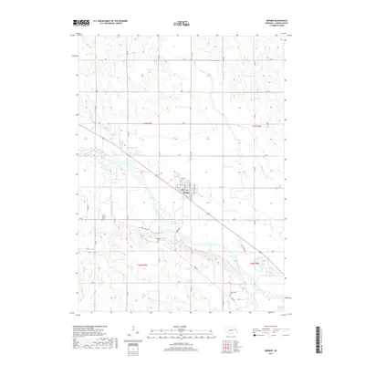
2017 Map of Beemer
USGS Topo · Published 2017About this map
The Elkhorn River meanders through this portion of Cuming County, defining the agricultural landscape around the town of Beemer. The settlement is laid out on a grid including 3rd St and 5th St, situated just north of the river's path. For genealogists and local historians, the map identifies several distinct burial sites across the township, including Beemer Cem, Rock Creek Cem near Rock Cr, Immanuel Cem, and Greenwood Cem further south. The drainage of the region is further detailed by Plum Cr and Fisher Cr, while the rural road network is marked by descriptive thoroughfares like Indian Trail Rd. This survey reflects a deeply established farming community where modern section roads like Q Rd and R Rd overlay the natural topography of the river valley.
Find a feature on this map
26 named features on this map. Tap any name to fly to it.
Don’t see what you’re looking for? This feature index may not catch every label — zoom into the map to look around manually.
Map Details
Editions of this 2017 Beemer Map
This is the sole edition of this map. No revisions or reprints were ever made.
Other maps of this area

1955 · Sioux City
USGS Topo · 1:250,000

1955 · Fremont
USGS Topo · 1:250,000

1957 · Fremont
USGS Topo · 1:250,000

1958 · Sioux City
USGS Topo · 1:250,000

1958 · Fremont
USGS Topo · 1:250,000

1959 · Sioux City
USGS Topo · 1:250,000

1963 · Wisner
USGS Topo · 1:24,000

1963 · Altona
USGS Topo · 1:24,000

1966 · West Point NW
USGS Topo · 1:24,000

1966 · Monterey
USGS Topo · 1:24,000