
1966 Map of Monterey
USGS Topo · Published 1967About this map
Monterey and St Charles anchor this mid-1960s landscape in Cuming County, where small rural settlements are defined by their parish foundations and local school districts. The terrain is deeply carved by the drainage systems of North Branch Pebble Creek and South Branch Pebble Creek, which converge to create a complex network of ridgelines and creek bottoms. For genealogists, the map identifies specific landmarks like St Boniface Cem near Monterey and St Anthony Cem in the St Charles vicinity, alongside rural education outposts such as School No 41. The drainage patterns, including Fisher Creek and Coffee Creek, show how water management dictated the placement of farmsteads and transport routes in this portion of the Missouri River Basin development area. To the northeast, McKinahan Lake provides a distinct geographic marker amidst the agricultural grid.
Find a feature on this map
13 named features on this map. Tap any name to fly to it.
Don’t see what you’re looking for? This feature index may not catch every label — zoom into the map to look around manually.
Map Details
Editions of this 1966 Monterey Map
This is the sole edition of this map. No revisions or reprints were ever made.
Other maps of this area

1955 · Fremont
USGS Topo · 1:250,000

1957 · Fremont
USGS Topo · 1:250,000

1958 · Fremont
USGS Topo · 1:250,000

1963 · Wisner
USGS Topo · 1:24,000

1966 · West Point NW
USGS Topo · 1:24,000
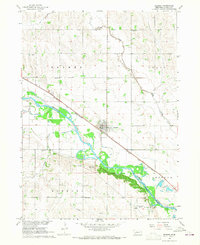
1966 · Beemer
USGS Topo · 1:24,000

1966 · Snyder
USGS Topo · 1:24,000

1966 · Aloys
USGS Topo · 1:24,000

1966 · Scribner
USGS Topo · 1:24,000
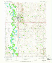
1966 · West Point
USGS Topo · 1:24,000