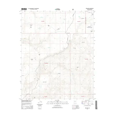
2014 Map of Behm Mesa
USGS Topo · Published 2014About this map
Prescott National Forest dominates this high-plateau landscape, where the terrain is defined by dramatic elevation changes between mesas and deep basins. The central namesake feature, Behm Mesa, rises above Wildhorse Basin and Silent Basin, indicating a classic Arizona rangeland topography where water management was critical for ranching and forest operations. A network of man-made water catchments, such as Hardy-Schell Tank, Behm Mesa Tank, and Corner Dam Tank, are scattered across the quadrangle, serving as vital resources in an arid environment cut by seasonal drainages like Wilder Creek and Boulder Creek.
Find a feature on this map
38 named features on this map. Tap any name to fly to it.
Don’t see what you’re looking for? This feature index may not catch every label — zoom into the map to look around manually.
Map Details
Editions of this 2014 Behm Mesa Map
This is the sole edition of this map. No revisions or reprints were ever made.
Other maps of this area

1887 · Prescott
USGS Topo · 1:250,000

1892 · Prescott
USGS Topo · 1:250,000

1923 · Signal
USGS Topo · 1:250,000

1942 · Signal
USGS Topo · 1:250,000

1945 · Bagdad
USGS Topo · 1:62,500

1947 · Sheridan Mountain
USGS Topo · 1:62,500

1947 · Camp Wood
USGS Topo · 1:62,500

1948 · Sheridan Mountain
USGS Topo · 1:63,360

1948 · Camp Wood
USGS Topo · 1:63,360

1948 · Bagdad
USGS Topo · 1:62,500