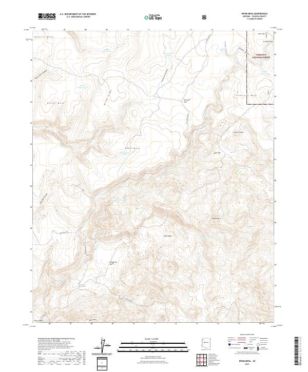
2021 Map of Behm Mesa
USGS Topo · Published 2021About this map
Prescott National Forest dominates the northeastern corner of this Yavapai County terrain, where the high desert landscape is defined by a network of drainage basins and elevated plateaus. Water management for cattle or local wildlife is evident through the naming of various catchments, such as Hardy-Schell Tank, Windy Ridge Tank, and Behm Mesa Tank. These artificial water sources are essential across the arid stretches of Wilder Mesa and Anderson Mesa.
Find a feature on this map
37 named features on this map. Tap any name to fly to it.
Don’t see what you’re looking for? This feature index may not catch every label — zoom into the map to look around manually.
Map Details
Editions of this 2021 Behm Mesa Map
This is the sole edition of this map. No revisions or reprints were ever made.
Other maps of this area

1887 · Prescott
USGS Topo · 1:250,000

1892 · Prescott
USGS Topo · 1:250,000

1923 · Signal
USGS Topo · 1:250,000

1942 · Signal
USGS Topo · 1:250,000

1945 · Bagdad
USGS Topo · 1:62,500

1947 · Sheridan Mountain
USGS Topo · 1:62,500

1947 · Camp Wood
USGS Topo · 1:62,500

1948 · Sheridan Mountain
USGS Topo · 1:63,360

1948 · Camp Wood
USGS Topo · 1:63,360

1948 · Bagdad
USGS Topo · 1:62,500