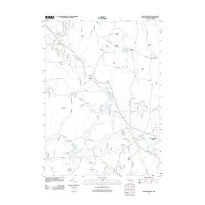
2012 Map of Belchertown
USGS Topo · Published 2012About this map
Saint Hyacinths Seminary and College stands as a prominent landmark in this portion of the Massachusetts landscape, situated near Cooks Corner and the waters of Forge Pond. The area is defined by its collection of small settlements such as Dwight, Packardville, and Knights Corner, which are connected by a network of historic routes including Old Amherst Rd and Packardville Rd. The presence of numerous burial grounds, such as Dwight Cem, Munsel Cem, and Lake Vale Cem, provides significant value for genealogists tracing local families across this terrain.
Find a feature on this map
146 named features on this map. Tap any name to fly to it.
Don’t see what you’re looking for? This feature index may not catch every label — zoom into the map to look around manually.
Map Details
Editions of this 2012 Belchertown Map
This is the sole edition of this map. No revisions or reprints were ever made.
Other maps of this area

1885 · Northampton
USGS Topo · 1:62,500

1886 · Springfield
USGS Topo · 1:62,500

1886 · Northampton
USGS Topo · 1:62,500

1887 · Palmer
USGS Topo · 1:62,500

1887 · Belchertown
USGS Topo · 1:62,500

1889 · Springfield
USGS Topo · 1:62,500

1889 · Palmer
USGS Topo · 1:62,500

1890 · Belchertown
USGS Topo · 1:62,500

1891 · Northampton
USGS Topo · 1:62,500

1893 · Northampton
USGS Topo · 1:62,500