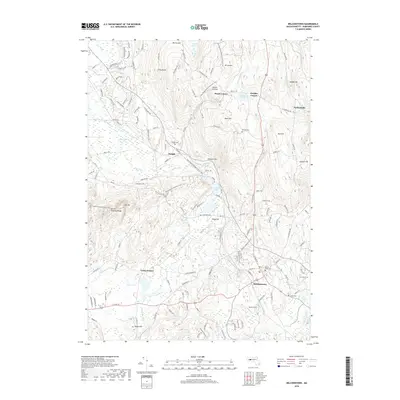
2018 Map of Belchertown
USGS Topo · Published 2018About this map
Belchertown and the surrounding Hampshire County countryside are defined by a series of distinct local hubs and family-named landmarks including Meads Corner and Knights Corner. The landscape is heavily influenced by the presence of the Mount Holyoke Range to the west and the long corridor of the New England National Scenic Trail, which traverses the hills from Long Mtn through Holland Glen.
Find a feature on this map
43 named features on this map. Tap any name to fly to it.
Don’t see what you’re looking for? This feature index may not catch every label — zoom into the map to look around manually.
Map Details
Editions of this 2018 Belchertown Map
This is the sole edition of this map. No revisions or reprints were ever made.
Other maps of this area

1885 · Northampton
USGS Topo · 1:62,500

1886 · Springfield
USGS Topo · 1:62,500

1886 · Northampton
USGS Topo · 1:62,500

1887 · Palmer
USGS Topo · 1:62,500

1887 · Belchertown
USGS Topo · 1:62,500

1889 · Springfield
USGS Topo · 1:62,500

1889 · Palmer
USGS Topo · 1:62,500

1890 · Belchertown
USGS Topo · 1:62,500

1891 · Northampton
USGS Topo · 1:62,500

1893 · Northampton
USGS Topo · 1:62,500