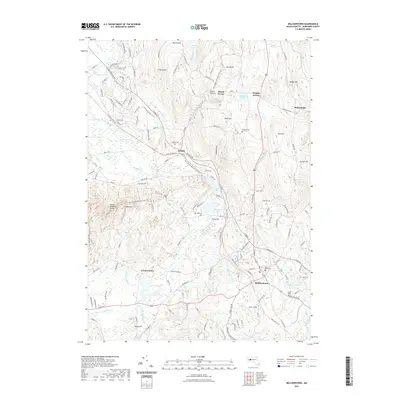
2021 Map of Belchertown
USGS Topo · Published 2021About this map
Belchertown and its outlying hamlets anchor this modern landscape, where the long-standing agricultural and residential patterns of Hampshire County meet extensive protected recreation corridors. The terrain is defined by the Mount Holyoke Range to the west and prominent elevations like Mt Lincoln and West Hill that separate drainage basins. Long-standing local history is visible in the distribution of family and community burial grounds, including Mount Hope Cem and the South Cem.
Find a feature on this map
53 named features on this map. Tap any name to fly to it.
Don’t see what you’re looking for? This feature index may not catch every label — zoom into the map to look around manually.
Map Details
Editions of this 2021 Belchertown Map
This is the sole edition of this map. No revisions or reprints were ever made.
Other maps of this area

1885 · Northampton
USGS Topo · 1:62,500

1886 · Springfield
USGS Topo · 1:62,500

1886 · Northampton
USGS Topo · 1:62,500

1887 · Palmer
USGS Topo · 1:62,500

1887 · Belchertown
USGS Topo · 1:62,500

1889 · Springfield
USGS Topo · 1:62,500

1889 · Palmer
USGS Topo · 1:62,500

1890 · Belchertown
USGS Topo · 1:62,500

1891 · Northampton
USGS Topo · 1:62,500

1893 · Northampton
USGS Topo · 1:62,500