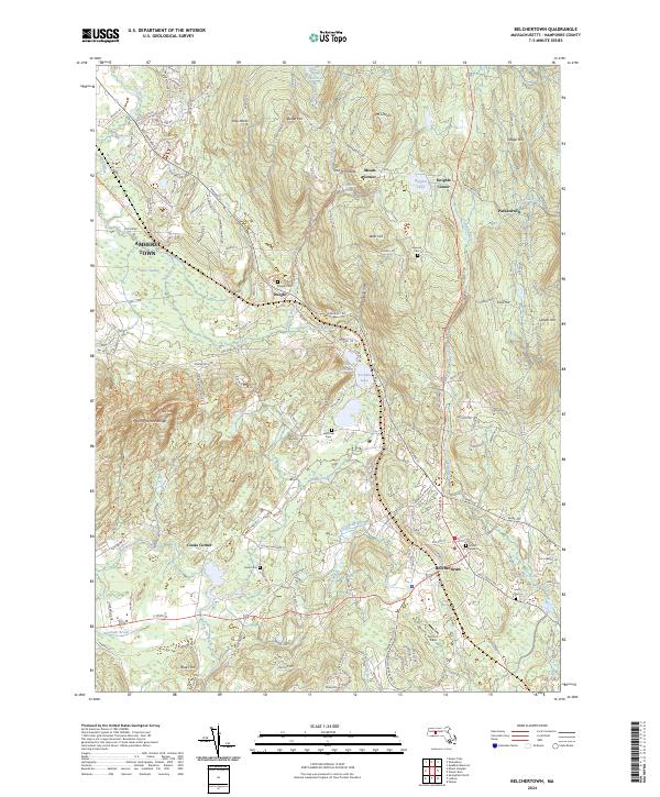
2024 Map of Belchertown
USGS Topo · Published 2024About this map
Belchertown serves as the focal point of this Hampshire County landscape, where the terrain rises from the Larence Swamp and Fort River lowlands toward the prominent ridges of the Mount Holyoke Range. The map reveals a complex network of rural settlements and crossroads including Packardville, Meads Corner, and Knights Corner, many of which developed around the region's abundant water resources like Jabish Brook and Batchelor Brook.
Find a feature on this map
147 named features on this map. Tap any name to fly to it.
Don’t see what you’re looking for? This feature index may not catch every label — zoom into the map to look around manually.
Map Details
Editions of this 2024 Belchertown Map
This is the sole edition of this map. No revisions or reprints were ever made.
Other maps of this area

1885 · Northampton
USGS Topo · 1:62,500

1886 · Springfield
USGS Topo · 1:62,500

1886 · Northampton
USGS Topo · 1:62,500

1887 · Palmer
USGS Topo · 1:62,500

1887 · Belchertown
USGS Topo · 1:62,500

1889 · Springfield
USGS Topo · 1:62,500

1889 · Palmer
USGS Topo · 1:62,500

1890 · Belchertown
USGS Topo · 1:62,500

1891 · Northampton
USGS Topo · 1:62,500

1893 · Northampton
USGS Topo · 1:62,500