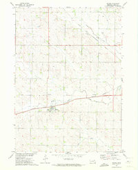
1971 Map of Belden
USGS Topo · Published 1973About this map
Belden serves as the central hub of this Cedar County landscape, situated where the Burlington Northern railroad corridor meets the drainage of Middle Logan Creek. The 1971 survey captures the town's local civic infrastructure, including Rabdaul Park and the village Cem, alongside the regional rail influence of the Chicago and North Western line crossing the northern sections.
Find a feature on this map
13 named features on this map. Tap any name to fly to it.
Don’t see what you’re looking for? This feature index may not catch every label — zoom into the map to look around manually.
Map Details
Editions of this 1971 Belden Map
This is the sole edition of this map. No revisions or reprints were ever made.
Other maps of this area

1955 · Sioux City
USGS Topo · 1:250,000
1958 · Sioux City
USGS Topo · 1:250,000
1959 · Sioux City
USGS Topo · 1:250,000
1968 · Coleridge
USGS Topo · 1:24,000
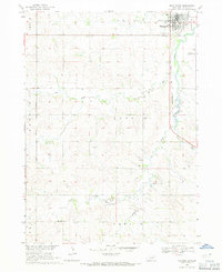
1968 · Hartington
USGS Topo · 1:24,000
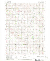
1968 · Coleridge SE
USGS Topo · 1:24,000
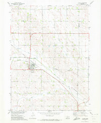
1971 · Laurel
USGS Topo · 1:24,000
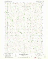
1971 · Randolph South
USGS Topo · 1:24,000
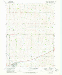
1971 · Randolph North
USGS Topo · 1:24,000
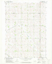
1971 · Laurel SE
USGS Topo · 1:24,000