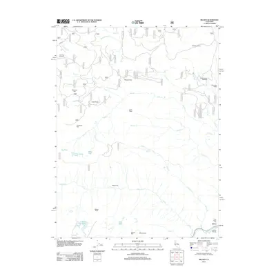
2012 Map of Belden
USGS Topo · Published 2012About this map
Belden sits at the confluence of Pauls Cr and the No Fork Feather River, marking a focal point of activity in this mountainous region of Northern California. The landscape is defined by its industrial and geological history, anchored by the Ebbe Stamp Mill and the striking formations of Castle Rocks. Mining and timber heritage is evident in the naming of flats and hollows such as Milkhouse Flat, Myrtle Flat, and Wallack Hollow.
Find a feature on this map
86 named features on this map. Tap any name to fly to it.
Don’t see what you’re looking for? This feature index may not catch every label — zoom into the map to look around manually.
Map Details
Editions of this 2012 Belden Map
This is the sole edition of this map. No revisions or reprints were ever made.
Other maps of this area

1886 · Lassen Peak
USGS Topo · 1:250,000

1888 · Bidwell Bar
USGS Topo · 1:125,000

1891 · Bidwell Bar
USGS Topo · 1:125,000

1892 · Lassen Peak
USGS Topo · 1:250,000

1893 · Bidwell Bar
USGS Topo · 1:125,000

1894 · Lassen Peak
USGS Topo · 1:250,000

1895 · Bidwell Bar
USGS Topo · 1:125,000

1897 · Bidwell Bar
USGS Topo · 1:125,000

1950 · Bucks Lake
USGS Topo · 1:62,500

1955 · Almanor
USGS Topo · 1:62,500