
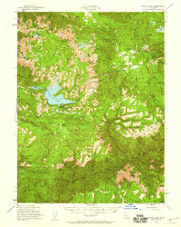
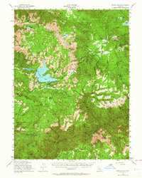
1950 Map of Bucks Lake
USGS Topo · Published 1953About this map
Bucks Lake and the high Sierra Nevada timberlands of the Plumas National Forest define this mid-century topographic survey. The landscape is a network of mid-elevation water bodies including Lower Bucks Lake, Silver Lake, and Three Lakes, all feeding into the complex drainage of Spanish Creek and the Middle Fork Feather River. The map captures a transition in local land use, where established mountain ranching at Spanish Ranch and Faggs Ranch exists alongside the developing recreation and administrative infrastructure of the Bucks Lake Guard Station and Bucks Lodge.
Find a feature on this map
56 named features on this map. Tap any name to fly to it.
Don’t see what you’re looking for? This feature index may not catch every label — zoom into the map to look around manually.
Map Details
Editions of this 1950 Bucks Lake Map
3 editions found
Other maps of this area

1886 · Honey Lake
USGS Topo · 1:250,000

1886 · Lassen Peak
USGS Topo · 1:250,000

1888 · Bidwell Bar
USGS Topo · 1:125,000

1891 · Bidwell Bar
USGS Topo · 1:125,000

1891 · Downieville
USGS Topo · 1:125,000

1891 · Honey Lake
USGS Topo · 1:250,000

1892 · Lassen Peak
USGS Topo · 1:250,000

1893 · Bidwell Bar
USGS Topo · 1:125,000

1893 · Honey Lake
USGS Topo · 1:250,000

1893 · Downieville
USGS Topo · 1:125,000