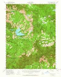
1950 Map of Bucks Lake
USGS Topo · Published 1964About this map
Bucks Lake sits at the heart of this high-elevation terrain within the Plumas National Forest, serving as a central hub for logging and recreation in the mid-century. The landscape is defined by its deep canyons and prominent peaks, such as Spanish Pk and Mt Pleasant, while the Middle Fork Feather River carves through the southern reaches. This era shows a transition from earlier industrial mining to forestry and public management, with the U C Forestry Camp and Bucks Lake Guard Sta established to oversee these resources.
Find a feature on this map
95 named features on this map. Tap any name to fly to it.
Don’t see what you’re looking for? This feature index may not catch every label — zoom into the map to look around manually.
Map Details
Editions of this 1950 Bucks Lake Map
3 editions found

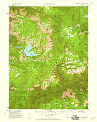
Other maps of this area

1886 · Honey Lake
USGS Topo · 1:250,000

1886 · Lassen Peak
USGS Topo · 1:250,000

1888 · Bidwell Bar
USGS Topo · 1:125,000

1891 · Bidwell Bar
USGS Topo · 1:125,000

1891 · Downieville
USGS Topo · 1:125,000

1891 · Honey Lake
USGS Topo · 1:250,000

1892 · Lassen Peak
USGS Topo · 1:250,000

1893 · Bidwell Bar
USGS Topo · 1:125,000

1893 · Honey Lake
USGS Topo · 1:250,000

1893 · Downieville
USGS Topo · 1:125,000