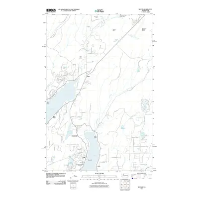
2011 Map of Belfair
USGS Topo · Published 2011About this map
Lynch Cove and the northern reaches of Hood Canal define the landscape of this Kitsap Peninsula region, where the town of Belfair serves as a hub for local commerce and quarrying. The map reveals a pattern of development tied to the shoreline and timber resources, with industrial sites like the Old Belfair Quarry and Shillinger Quarry dotting the hillsides near the Union River. Further south along North Bay, the community of Allyn is anchored by its civic and recreational centers, including the Allyn Post Office, the Port of Allyn Public Dock, and the residential layout of the Lakeland Village Golf Course.
Find a feature on this map
108 named features on this map. Tap any name to fly to it.
Don’t see what you’re looking for? This feature index may not catch every label — zoom into the map to look around manually.
Map Details
Editions of this 2011 Belfair Map
This is the sole edition of this map. No revisions or reprints were ever made.
Other maps of this area

1936 · Point Misery
USGS Topo · 1:62,500

1937 · Port Orchard
USGS Topo · 1:62,500

1938 · Allyn
USGS Topo · 1:62,500

1940 · Point Misery
USGS Topo · 1:62,500

1942 · Gig Harbor
USGS Topo · 1:62,500

1943 · Gig Harbor
USGS Topo · 1:62,500

1953 · Burley
USGS Topo · 1:24,000

1953 · Sylvan
USGS Topo · 1:24,000

1953 · Vaughn
USGS Topo · 1:24,000

1953 · Bremerton West
USGS Topo · 1:24,000