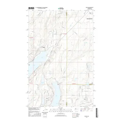
2017 Map of Belfair
USGS Topo · Published 2017About this map
Lynch Cove and the northern reaches of Case Inlet anchor this coastal landscape where the Key Peninsula meets the mainland. This 2017 survey details the complex geography around Belfair and Allyn, where the Kellums Lake Isthmus creates a narrow land bridge between major bodies of water. The topography is defined by numerous glacial lakes, including Wye Lake, Devereaux Lake, and Lake Koeneman, interspersed with drainage systems like Sweetwater Cr and Coulter Cr. To the northeast, the footprint of the Bremerton National Airport stands as a significant modern landmark. The map also clearly delineates the convergence of Kitsap, Mason, and Pierce counties, illustrating how these administrative boundaries intersect across the varied terrain of the Great Peninsula. Local road networks, such as NE Old Belfair Hwy and NE State Rte 3, reveal the modern infrastructure connecting these waterfront communities.
Find a feature on this map
115 named features on this map. Tap any name to fly to it.
Don’t see what you’re looking for? This feature index may not catch every label — zoom into the map to look around manually.
Map Details
Editions of this 2017 Belfair Map
This is the sole edition of this map. No revisions or reprints were ever made.
Other maps of this area

1936 · Point Misery
USGS Topo · 1:62,500

1937 · Port Orchard
USGS Topo · 1:62,500

1938 · Allyn
USGS Topo · 1:62,500

1940 · Point Misery
USGS Topo · 1:62,500

1942 · Gig Harbor
USGS Topo · 1:62,500

1943 · Gig Harbor
USGS Topo · 1:62,500

1953 · Burley
USGS Topo · 1:24,000

1953 · Sylvan
USGS Topo · 1:24,000

1953 · Vaughn
USGS Topo · 1:24,000

1953 · Bremerton West
USGS Topo · 1:24,000