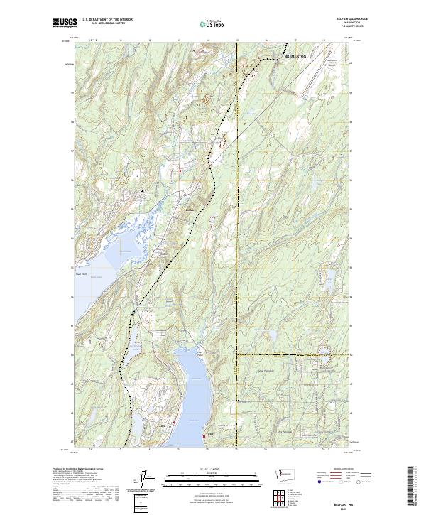
2023 Map of Belfair
USGS Topo · Published 2023About this map
Belfair sits at the interior crook of Hood Canal, where the Union River and Sweetwater Creek meet the tide at Lynch Cove. This 2023 survey illustrates the modern layout of northern Mason County, stretching from the Bremerton National Airport down to the water-bound communities of Allyn and Victor. The landscape is defined by the complex transitions between the Great Peninsula and the Key Peninsula, separated by the waters of Case Inlet. Genealogists will find the locations of local burial grounds like Twin Firs Cem near Larson Lake and the Victor Cem further south. The map documents a dense network of residential development and older rural tracts, interconnected by routes such as the NE Old Belfair Hwy and NE State Rte 3, showing how settlement has matured around the glacial lakes and saltwater coves.
Find a feature on this map
123 named features on this map. Tap any name to fly to it.
Don’t see what you’re looking for? This feature index may not catch every label — zoom into the map to look around manually.
Map Details
Editions of this 2023 Belfair Map
This is the sole edition of this map. No revisions or reprints were ever made.
Other maps of this area

1936 · Point Misery
USGS Topo · 1:62,500

1937 · Port Orchard
USGS Topo · 1:62,500

1938 · Allyn
USGS Topo · 1:62,500

1940 · Point Misery
USGS Topo · 1:62,500

1942 · Gig Harbor
USGS Topo · 1:62,500

1943 · Gig Harbor
USGS Topo · 1:62,500

1953 · Burley
USGS Topo · 1:24,000

1953 · Sylvan
USGS Topo · 1:24,000

1953 · Vaughn
USGS Topo · 1:24,000

1953 · Bremerton West
USGS Topo · 1:24,000