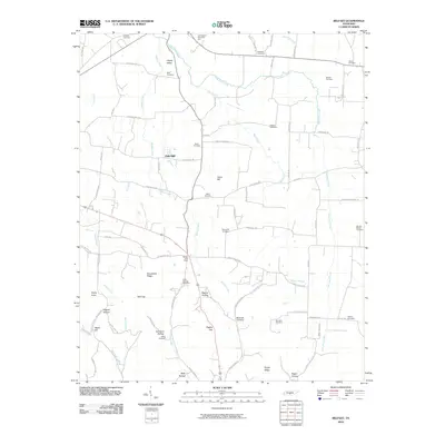
2010 Map of Belfast
USGS Topo · Published 2010About this map
Belfast Post Office serves as a central landmark for this rural Marshall County landscape, where the settlement patterns follow the winding paths of Belfast Creek and East Rock Creek. This 2010 survey highlights a deeply established community identity through its numerous family-named landmarks and burial grounds, such as Hardison Hollow Patton Cemetery and Woods-Mayes Cemetery. The terrain is defined by a series of gaps and ridges, including Bagley Gap and Grandview Ridge, which dictated the early road networks like Old Belfast Rd and Fishing Ford Rd.
Find a feature on this map
84 named features on this map. Tap any name to fly to it.
Don’t see what you’re looking for? This feature index may not catch every label — zoom into the map to look around manually.
Map Details
Editions of this 2010 Belfast Map
This is the sole edition of this map. No revisions or reprints were ever made.
Other maps of this area

1936 · Farmington
USGS Topo · 1:24,000

1936 · Belfast
USGS Topo · 1:24,000

1936 · Cornersville
USGS Topo · 1:24,000

1936 · Lewisburg
USGS Topo · 1:24,000

1936 · Belleville
USGS Topo · 1:24,000

1936 · Verona
USGS Topo · 1:24,000

1936 · Petersburg
USGS Topo · 1:24,000

1936 · Unionville
USGS Topo · 1:24,000

1936 · Bedford
USGS Topo · 1:24,000

1944 · Shelbyville
USGS Topo · 1:100,000