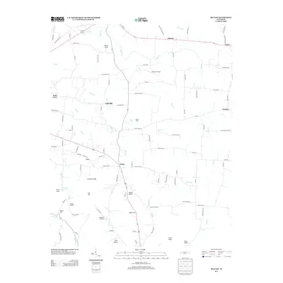
2013 Map of Belfast
USGS Topo · Published 2013About this map
Belfast serves as a central hub for this rural portion of Marshall County, situated along a landscape defined by significant ridges and hollows. The terrain transitions from the elevations of Grandview Ridge and Twitty Knob in the west to the valley floors where Belfast Cr and Mud Cr provide the primary drainage. This 2013 survey illustrates a network of legacy road names that hint at local history and family landmarks, such as Palmetto Cemetery Rd, Bethlehem Church Rd, and Haskins Chapel Rd. Small, dispersed settlements like Palmetto, Oak Hill, and Whitaker are connected by these winding routes, while Hudgin Air Airport provides a modern aeronautical landmark in the north-central section. The geography is further detailed by numerous named gaps and hollows, including Bagley Gap, Polecat Hollow, and Hardison Hollow, reflecting the intricate topography of the Tennessee interior.
Find a feature on this map
103 named features on this map. Tap any name to fly to it.
Don’t see what you’re looking for? This feature index may not catch every label — zoom into the map to look around manually.
Map Details
Editions of this 2013 Belfast Map
This is the sole edition of this map. No revisions or reprints were ever made.
Other maps of this area

1936 · Farmington
USGS Topo · 1:24,000

1936 · Belfast
USGS Topo · 1:24,000

1936 · Cornersville
USGS Topo · 1:24,000

1936 · Lewisburg
USGS Topo · 1:24,000

1936 · Belleville
USGS Topo · 1:24,000

1936 · Verona
USGS Topo · 1:24,000

1936 · Petersburg
USGS Topo · 1:24,000

1936 · Unionville
USGS Topo · 1:24,000

1936 · Bedford
USGS Topo · 1:24,000

1944 · Shelbyville
USGS Topo · 1:100,000