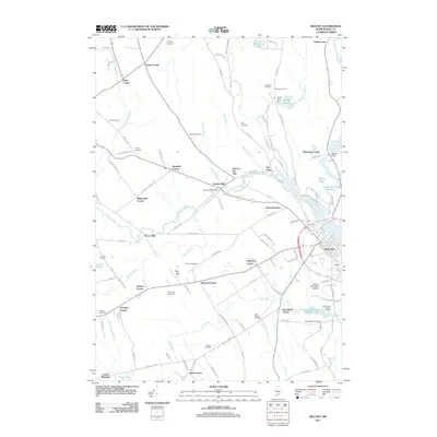
2011 Map of Belfast
USGS Topo · Published 2011About this map
The Passagassawakeag River flows toward the coast of Waldo County, defining the industrial and geographic character of this region. Early industrial sites such as Holmes Mill and the Holmes Mill Dam sit upstream from the Head of the Tide, where the river begins its tidal estuary. The settlement pattern is dominated by numerous historic intersections and family-named corners, including Evans Corner, Neals Corner, and Simpsons Corner.
Find a feature on this map
114 named features on this map. Tap any name to fly to it.
Don’t see what you’re looking for? This feature index may not catch every label — zoom into the map to look around manually.
Map Details
Editions of this 2011 Belfast Map
This is the sole edition of this map. No revisions or reprints were ever made.
Other maps of this area

1900 · Bucksport
USGS Topo · 1:62,500

1902 · Bucksport
USGS Topo · 1:62,500

1902 · Castine
USGS Topo · 1:62,500

1904 · Castine
USGS Topo · 1:62,500

1905 · Penobscot Bay
USGS Topo · 1:125,000

1915 · Belfast
USGS Topo · 1:62,500

1917 · Belfast
USGS Topo · 1:62,500

1932 · Brooks
USGS Topo · 1:62,500

1941 · Belfast
USGS Topo · 1:62,500

1941 · Castine
USGS Topo · 1:62,500