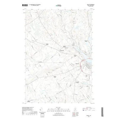
2018 Map of Belfast
USGS Topo · Published 2018About this map
Belfast sits at the head of Belfast Bay, where the Passagassawakeag River meets the Atlantic waters. This coastal Waldo County landscape is defined by its series of small, family-named crossroads and industrial hamlets, such as Kendalls Corner, Shermans Corner, and Dog Island Corner. The river's influence on early development is evident at Head of the Tide and City Point, while the interior shows a legacy of rural infrastructure at Holmes Mill and Poors Mill. Genealogists will find a high density of small burial grounds, including Seekins Cem, Evans Corner Cem, and Simmons Cem, documenting the area's ancestral residents. The map also charts modern transport nodes, from the street grid of downtown to the Belfast Municipal Airport, set against the backdrop of Park Hill and the winding Little River.
Find a feature on this map
110 named features on this map. Tap any name to fly to it.
Don’t see what you’re looking for? This feature index may not catch every label — zoom into the map to look around manually.
Map Details
Editions of this 2018 Belfast Map
This is the sole edition of this map. No revisions or reprints were ever made.
Other maps of this area

1900 · Bucksport
USGS Topo · 1:62,500

1902 · Bucksport
USGS Topo · 1:62,500

1902 · Castine
USGS Topo · 1:62,500

1904 · Castine
USGS Topo · 1:62,500

1905 · Penobscot Bay
USGS Topo · 1:125,000

1915 · Belfast
USGS Topo · 1:62,500

1917 · Belfast
USGS Topo · 1:62,500

1932 · Brooks
USGS Topo · 1:62,500

1941 · Belfast
USGS Topo · 1:62,500

1941 · Castine
USGS Topo · 1:62,500