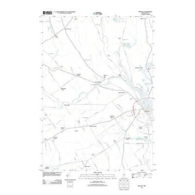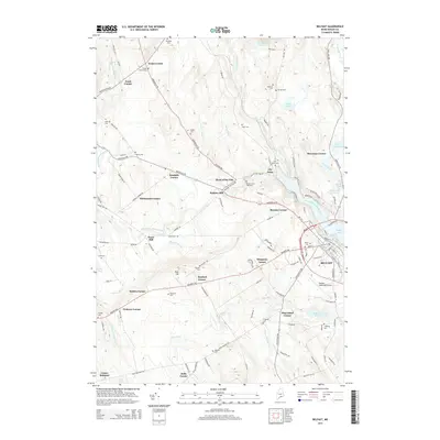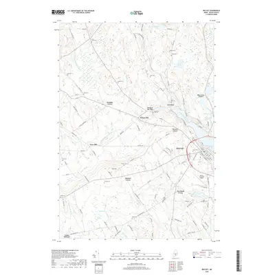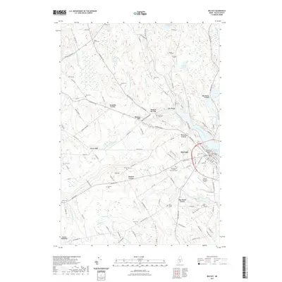
2024 Map of Belfast
USGS Topo · Published 2024About this map
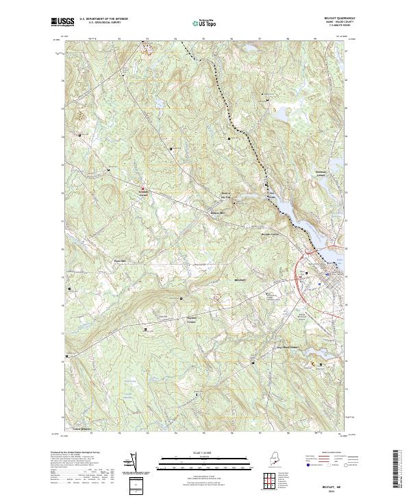
The Passagassawakeag River flows toward its outlet at Belfast Bay, anchoring a landscape defined by historic crossroads and rural coastal settlements. This modern survey illustrates the enduring patterns of Waldo County, where industrial history is still legible at Holmes Mill and Poors Mill. The map details the transition from the city center of Belfast—with its grid of historic streets like Court St and Main St—to the outlying agricultural and marshy uplands. For genealogists, the landscape is densely marked with family-named burial grounds, including Harding Cem, Evans Corner Cem, and Watson Cem. The infrastructure of the region is further represented by Belfast Municipal Airport and the educational presence of The University of Maine Hutchinson Center, while natural features like Hayford Bog and the Little River emphasize the area's diverse topography.
Find a feature on this map
124 named features on this map. Tap any name to fly to it.
Don’t see what you’re looking for? This feature index may not catch every label — zoom into the map to look around manually.
Map Details
Editions of this 2024 Belfast Map
This is the sole edition of this map. No revisions or reprints were ever made.
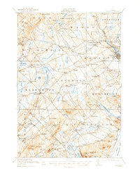
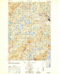
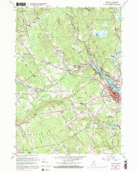
Historical Maps of Belfast Through Time
10 maps found