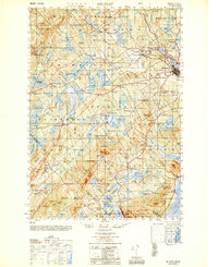
1950 Map of Belfast
USGS Topo · Published 1950About this map
The coastal economy of mid-century Waldo County centers on the city of Belfast, where the Passagassawakeag River meets the bay. The map reveals a landscape defined by an intricate network of local crossroads and community identifiers like Head of the Tide and City Point. Further inland, the importance of early industry is evident in the naming of rural clusters like Holmes Mill and Poore Mill, which suggest a heritage of timber or grain processing along the local waterways.
Find a feature on this map
146 named features on this map. Tap any name to fly to it.
Don’t see what you’re looking for? This feature index may not catch every label — zoom into the map to look around manually.
Map Details
Editions of this 1950 Belfast Map
This is the sole edition of this map. No revisions or reprints were ever made.
Other maps of this area

1900 · Bucksport
USGS Topo · 1:62,500

1902 · Bucksport
USGS Topo · 1:62,500

1902 · Castine
USGS Topo · 1:62,500

1904 · Castine
USGS Topo · 1:62,500
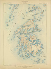
1904 · Vinalhaven
USGS Topo · 1:62,500
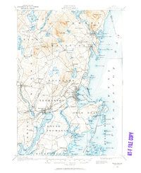
1904 · Rockland
USGS Topo · 1:62,500

1905 · Penobscot Bay
USGS Topo · 1:125,000
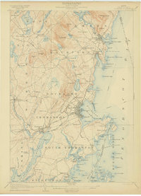
1906 · Rockland
USGS Topo · 1:62,500
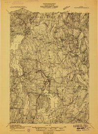
1913 · Waldoboro
USGS Topo · 1:48,000
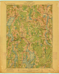
1915 · Waldoboro
USGS Topo · 1:62,500