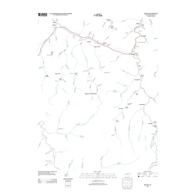
2013 Map of Belfry
USGS Topo · Published 2013About this map
Canada Knob and its attendant Canada Knob Lookout Tower dominate the western ridgeline of this Pike County corridor, overseeing a landscape defined by steep hollows and narrow valley settlements. The communities of Belfry, Sharondale, and Stone are strung along the eastern waterways, where the presence of N Railroad St in Huddy indicates the vital transportation corridors that historically supported local industry. Genealogists will find numerous small family burial grounds throughout the terrain, from Deskins Family Cem in the south to the Smith Cem near Sidney. These sites, alongside the more modern Mtn View Memory Gardens, provide a clear record of local family history in the area. The map illustrates how residential development follows the winding paths of Pond Creek and Pinson Fork, reaching into secluded areas like Blackburn Hollow and Homemade Hollow.
Find a feature on this map
140 named features on this map. Tap any name to fly to it.
Don’t see what you’re looking for? This feature index may not catch every label — zoom into the map to look around manually.
Map Details
Editions of this 2013 Belfry Map
This is the sole edition of this map. No revisions or reprints were ever made.
Other maps of this area

1886 · Grundy
USGS Topo · 1:125,000

1887 · Warfield
USGS Topo · 1:125,000

1890 · Grundy
USGS Topo · 1:125,000

1891 · Warfield
USGS Topo · 1:125,000

1892 · Grundy
USGS Topo · 1:125,000

1909 · Matewan
USGS Topo · 1:48,000

1914 · Hurley
USGS Topo · 1:48,000

1915 · Regina
USGS Topo · 1:48,000

1915 · Hurley
USGS Topo · 1:48,000

1915 · Williamson
USGS Topo · 1:48,000