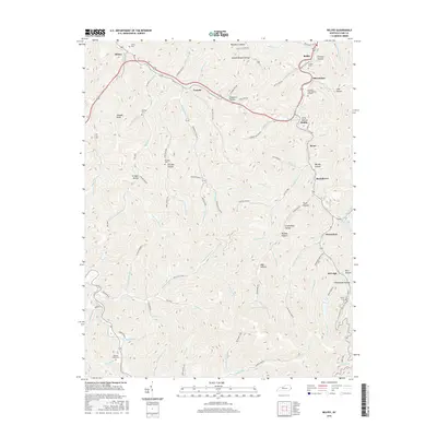
2016 Map of Belfry
USGS Topo · Published 2016About this map
Pond Creek and its many tributaries, including Pinson Fork and Mill Branch, carve out the deep hollows and narrow valleys of this Pike County landscape. Small communities and coal-town settlements like Pinsonfork, Stone, and McVeigh follow the winding valley floors, where the majority of the region's infrastructure is concentrated. The geography is defined by a dense network of named hollows such as Brandy Hollow, Trout Hollow, and Orinoco Hollow, many of which carry the names of early residents and families.
Find a feature on this map
99 named features on this map. Tap any name to fly to it.
Don’t see what you’re looking for? This feature index may not catch every label — zoom into the map to look around manually.
Map Details
Editions of this 2016 Belfry Map
This is the sole edition of this map. No revisions or reprints were ever made.
Other maps of this area

1886 · Grundy
USGS Topo · 1:125,000

1887 · Warfield
USGS Topo · 1:125,000

1890 · Grundy
USGS Topo · 1:125,000

1891 · Warfield
USGS Topo · 1:125,000

1892 · Grundy
USGS Topo · 1:125,000

1909 · Matewan
USGS Topo · 1:48,000

1914 · Hurley
USGS Topo · 1:48,000

1915 · Regina
USGS Topo · 1:48,000

1915 · Hurley
USGS Topo · 1:48,000

1915 · Williamson
USGS Topo · 1:48,000