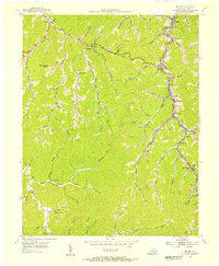
1954 Map of Belfry
USGS Topo · Published 1955About this map
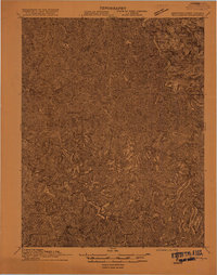
Norfolk and Western rail lines wind through the hollows of eastern Kentucky in this mid-century survey, tracking the industrial pulse of Pike County. The landscape is defined by its deep forks and branches, where coal-town settlements like Stone, Sharondale, and McVeigh follow the narrow valley floors. Social life in the 1950s is anchored by scattered mountain institutions, including the Lonesome Dove Ch and Meathouse Fork Ch, alongside rural schoolhouses like Octavia Sch and Bevins Sch. The terrain is marked by family-named landmarks such as Smith Cem and Stump Cem, while the Lookout Tower on Canada Knob provides a dominant vantage over the winding waters of Johns Creek and Big Creek. This map illustrates the intersection of traditional Appalachian settlement patterns with the heavy infrastructure of the era's energy economy.
Find a feature on this map
59 named features on this map. Tap any name to fly to it.
Don’t see what you’re looking for? This feature index may not catch every label — zoom into the map to look around manually.
Map Details
Editions of this 1954 Belfry Map
This is the sole edition of this map. No revisions or reprints were ever made.
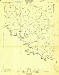
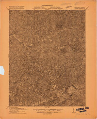
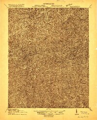
Other maps of this area

1886 · Grundy
USGS Topo · 1:125,000

1887 · Warfield
USGS Topo · 1:125,000

1890 · Grundy
USGS Topo · 1:125,000

1891 · Warfield
USGS Topo · 1:125,000

1892 · Grundy
USGS Topo · 1:125,000
1909 · Matewan
USGS Topo · 1:48,000

1914 · Hurley
USGS Topo · 1:48,000
1915 · Regina
USGS Topo · 1:48,000
1915 · Hurley
USGS Topo · 1:48,000
1915 · Williamson
USGS Topo · 1:48,000