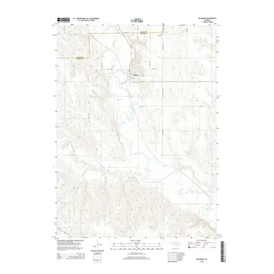
2014 Map of Belgrade
USGS Topo · Published 2014About this map
Belgrade serves as the central settlement on this 2014 survey, situated near the Cedar River in Nance County. The town is organized around a small grid including 3rd St and 6th St, where a local Po indicates continued civic activity. Outside the village limits, the landscape transitions into the drainage basins of Ash Cr and Timber Cr, which feed into the larger river system. North of the town center, Main Cem sits along Cemetery Rd, providing a specific point of interest for genealogists tracing local families. The presence of the Gdowski Reservoir to the southeast reflects modern water management in this agricultural region. The map also delineates the northern border between Boone Co and Nance Co, marked by a network of rural routes such as 390th St and 220th Ave.
Find a feature on this map
23 named features on this map. Tap any name to fly to it.
Don’t see what you’re looking for? This feature index may not catch every label — zoom into the map to look around manually.
Map Details
Editions of this 2014 Belgrade Map
This is the sole edition of this map. No revisions or reprints were ever made.
Other maps of this area

1896 · Stromsburg
USGS Topo · 1:125,000

1899 · St. Paul
USGS Topo · 1:125,000

1954 · Cedar Rapids
USGS Topo · 1:24,000

1954 · Belgrade
USGS Topo · 1:24,000

1954 · Belgrade NW
USGS Topo · 1:24,000

1954 · Cedar Rapids SE
USGS Topo · 1:24,000

1955 · Belgrade SW
USGS Topo · 1:24,000

1955 · Broken Bow
USGS Topo · 1:250,000

1955 · Belgrade SE
USGS Topo · 1:24,000

1955 · Fremont
USGS Topo · 1:250,000