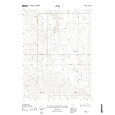
2017 Map of Belgrade
USGS Topo · Published 2017About this map
The Belgrade settlement serves as the central hub of this agricultural landscape in Nance County, oriented along the winding path of the Cedar River. The village layout is clearly defined by local thoroughfares such as 3rd St, C St, and D St, with a local Post Office anchoring the community center. Surrounding the town, the terrain is shaped by the river valley and its tributaries, including Ash Creek and Timber Creek, which drain the rolling fields of the eastern Nebraska plains.
Find a feature on this map
38 named features on this map. Tap any name to fly to it.
Don’t see what you’re looking for? This feature index may not catch every label — zoom into the map to look around manually.
Map Details
Editions of this 2017 Belgrade Map
This is the sole edition of this map. No revisions or reprints were ever made.
Other maps of this area

1896 · Stromsburg
USGS Topo · 1:125,000

1899 · St. Paul
USGS Topo · 1:125,000

1954 · Cedar Rapids
USGS Topo · 1:24,000

1954 · Belgrade
USGS Topo · 1:24,000

1954 · Belgrade NW
USGS Topo · 1:24,000

1954 · Cedar Rapids SE
USGS Topo · 1:24,000

1955 · Belgrade SW
USGS Topo · 1:24,000

1955 · Broken Bow
USGS Topo · 1:250,000

1955 · Belgrade SE
USGS Topo · 1:24,000

1955 · Fremont
USGS Topo · 1:250,000