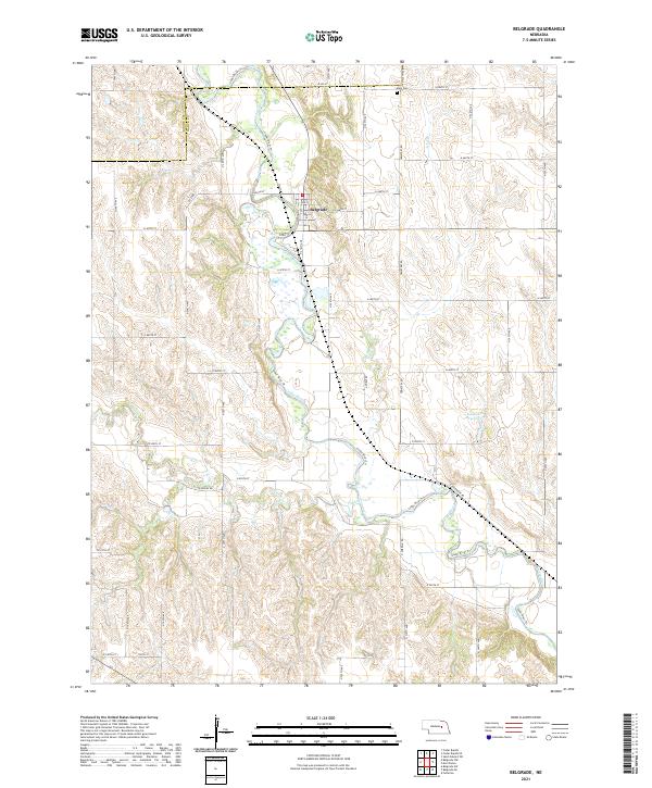
2021 Map of Belgrade
USGS Topo · Published 2021About this map
Belgrade serves as the primary hub of this eastern Nebraska landscape, situated near the winding course of the Cedar River. The river corridor is flanked by the Cedar River Trl, a notable geographic feature that follows the water through Nance and Boone counties. To the north of the settlement lies the Main Cem, providing a focal point for genealogical research in the area. The surrounding terrain is defined by a series of drainages including Ash Cr, Timber Creek, and Looking Glass Cr, which feed into the primary river system. Local water management is visible through the Gdowski Reservoir located to the southeast of the town. This modern survey illustrates the persistent grid of rural roads, such as N 500th St and N 220th Ave, that has organized this agricultural region since early settlement.
Find a feature on this map
50 named features on this map. Tap any name to fly to it.
Don’t see what you’re looking for? This feature index may not catch every label — zoom into the map to look around manually.
Map Details
Editions of this 2021 Belgrade Map
This is the sole edition of this map. No revisions or reprints were ever made.
Other maps of this area

1896 · Stromsburg
USGS Topo · 1:125,000

1899 · St. Paul
USGS Topo · 1:125,000

1954 · Cedar Rapids
USGS Topo · 1:24,000

1954 · Belgrade
USGS Topo · 1:24,000

1954 · Belgrade NW
USGS Topo · 1:24,000

1954 · Cedar Rapids SE
USGS Topo · 1:24,000

1955 · Belgrade SW
USGS Topo · 1:24,000

1955 · Broken Bow
USGS Topo · 1:250,000

1955 · Belgrade SE
USGS Topo · 1:24,000

1955 · Fremont
USGS Topo · 1:250,000