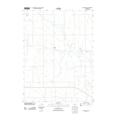
2011 Map of Belgrade NW
USGS Topo · Published 2011About this map
Timber Creek and its major tributaries weave through this agricultural portion of Nance County, revealing a landscape defined by water management and rural section lines. The confluence of the North Branch Timber Creek and South Branch Timber Creek forms the main waterway, which flows southeast toward the edge of the sheet. In the south, the meandering path of Horse Creek cuts across the gridded road system, including the prominent Northstar Rd.
Find a feature on this map
11 named features on this map. Tap any name to fly to it.
Don’t see what you’re looking for? This feature index may not catch every label — zoom into the map to look around manually.
Map Details
Editions of this 2011 Belgrade NW Map
This is the sole edition of this map. No revisions or reprints were ever made.
Other maps of this area

1899 · St. Paul
USGS Topo · 1:125,000

1954 · Cedar Rapids
USGS Topo · 1:24,000

1954 · Wolbach NE
USGS Topo · 1:24,000

1954 · Belgrade
USGS Topo · 1:24,000

1954 · Belgrade NW
USGS Topo · 1:24,000

1954 · Cedar Rapids SE
USGS Topo · 1:24,000

1954 · Spalding SE
USGS Topo · 1:24,000

1955 · Belgrade SW
USGS Topo · 1:24,000

1955 · Broken Bow
USGS Topo · 1:250,000

1955 · Belgrade SE
USGS Topo · 1:24,000