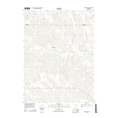
2014 Map of Belgrade NW
USGS Topo · Published 2014About this map
Timber Creek flows through the dissected loess hills of the Nebraska plains, carving a complex drainage network across the border of Boone Co and Nance Co. The settlement of Redwing and the nearby Redwing Cem serve as historical anchors in this agricultural landscape, situated near the confluence where the N Br Timber Cr and S Br Timber Cr meet. This 2014 survey reveals a transition from traditional section-line roads like 130th Ave and 390th St to the diagonal path of Ne-22 in the south near Horse Cr. Man-made water features such as Robinson Reservoir and Scott Reservoir emphasize the critical role of water management in this rural environment, providing essential resources for the surrounding farms and cattle operations that have defined the region's economy for generations.
Find a feature on this map
22 named features on this map. Tap any name to fly to it.
Don’t see what you’re looking for? This feature index may not catch every label — zoom into the map to look around manually.
Map Details
Editions of this 2014 Belgrade NW Map
This is the sole edition of this map. No revisions or reprints were ever made.
Other maps of this area

1899 · St. Paul
USGS Topo · 1:125,000

1954 · Cedar Rapids
USGS Topo · 1:24,000

1954 · Wolbach NE
USGS Topo · 1:24,000

1954 · Belgrade
USGS Topo · 1:24,000

1954 · Belgrade NW
USGS Topo · 1:24,000

1954 · Cedar Rapids SE
USGS Topo · 1:24,000

1954 · Spalding SE
USGS Topo · 1:24,000

1955 · Belgrade SW
USGS Topo · 1:24,000

1955 · Broken Bow
USGS Topo · 1:250,000

1955 · Belgrade SE
USGS Topo · 1:24,000