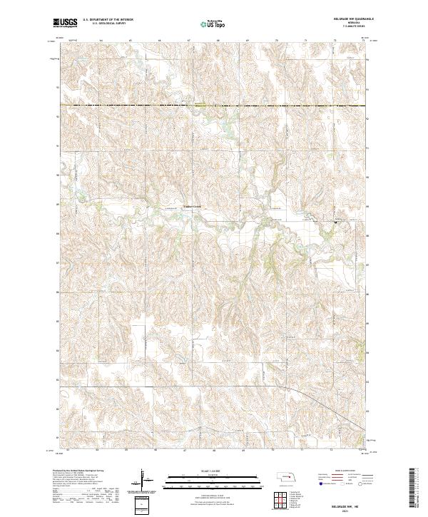
2021 Map of Belgrade NW
USGS Topo · Published 2021About this map
Timber Creek sits at the heart of this rural landscape, which is defined by the winding drainages of N Br Timber Cr and S Br Timber Cr. This 2021 survey illustrates the continued agricultural character of the border between Boone and Nance counties. The terrain is marked by numerous small reservoirs, including Robinson Reservoir in the northwest and Scott Reservoir toward the east, which serve as vital water management points for the local farmsteads. Genealogists will note Redwing Cem located along N 485th St, a quiet landmark among the section lines and gravel roads like N Magnolia Rd and N Pawnee Rd. The map provides a clear picture of the modern road network and hydrological patterns that have sustained this portion of the Nebraska plains for generations.
Find a feature on this map
28 named features on this map. Tap any name to fly to it.
Don’t see what you’re looking for? This feature index may not catch every label — zoom into the map to look around manually.
Map Details
Editions of this 2021 Belgrade NW Map
This is the sole edition of this map. No revisions or reprints were ever made.
Other maps of this area

1899 · St. Paul
USGS Topo · 1:125,000

1954 · Cedar Rapids
USGS Topo · 1:24,000

1954 · Wolbach NE
USGS Topo · 1:24,000

1954 · Belgrade
USGS Topo · 1:24,000

1954 · Belgrade NW
USGS Topo · 1:24,000

1954 · Cedar Rapids SE
USGS Topo · 1:24,000

1954 · Spalding SE
USGS Topo · 1:24,000

1955 · Belgrade SW
USGS Topo · 1:24,000

1955 · Broken Bow
USGS Topo · 1:250,000

1955 · Belgrade SE
USGS Topo · 1:24,000