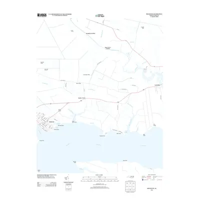
2013 Map of Belhaven
USGS Topo · Published 2013About this map
The Pungo River dominates this coastal landscape, where the town of Belhaven serves as a primary hub for maritime and residential activity. The grid of streets in town, including E Main St and Railroad St, gives way to a sprawling network of water-access points like Piney Grove Landing and Hoophole Landing. The area is defined by its low-lying ridges and drainage canals, such as the Pungo Lake Canal and Upper Dowry Cr, which support the region's agricultural interests like the Beech Ridge Pork Farm. Small settlements and named corners, including Haslin Corner and Leechville, are scattered along Highway 264, reflecting the rural character of Beaufort County. Along the shoreline, places like Bible Shore and the Dowry Creek Marina indicate the importance of recreational and commercial boating near Pungo Point and Bay Point.
Find a feature on this map
74 named features on this map. Tap any name to fly to it.
Don’t see what you’re looking for? This feature index may not catch every label — zoom into the map to look around manually.
Map Details
Editions of this 2013 Belhaven Map
This is the sole edition of this map. No revisions or reprints were ever made.
Other maps of this area

1914 · Belhaven
USGS Topo · 1:48,000

1916 · Belhaven
USGS Topo · 1:62,500

1943 · Columbia
USGS Topo · 1:125,000

1943 · Plymouth
USGS Topo · 1:125,000

1951 · Ransomville
USGS Topo · 1:24,000

1951 · Pamlico Beach
USGS Topo · 1:24,000

1951 · Belhaven
USGS Topo · 1:24,000

1951 · Pantego
USGS Topo · 1:24,000

1951 · Scranton
USGS Topo · 1:24,000

1951 · Ponzer
USGS Topo · 1:24,000