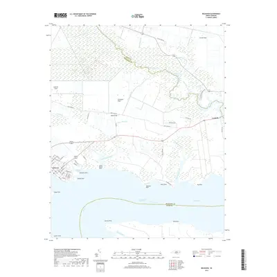
2019 Map of Belhaven
USGS Topo · Published 2019About this map
Belhaven serves as the focal point of this coastal survey, where the street grid meets the expansive waters of the Pungo River. The landscape is defined by the sophisticated hydraulic engineering of the coastal plain, featuring the Pungo River Canal, Pungo Lake Canal, and Lowes Ditch, which drain the low-lying Pantego Swamp. These waterways represent the ongoing management of the North Carolina wetlands for agriculture and transit.
Find a feature on this map
68 named features on this map. Tap any name to fly to it.
Don’t see what you’re looking for? This feature index may not catch every label — zoom into the map to look around manually.
Map Details
Editions of this 2019 Belhaven Map
This is the sole edition of this map. No revisions or reprints were ever made.
Other maps of this area

1914 · Belhaven
USGS Topo · 1:48,000

1916 · Belhaven
USGS Topo · 1:62,500

1943 · Columbia
USGS Topo · 1:125,000

1943 · Plymouth
USGS Topo · 1:125,000

1951 · Ransomville
USGS Topo · 1:24,000

1951 · Pamlico Beach
USGS Topo · 1:24,000

1951 · Belhaven
USGS Topo · 1:24,000

1951 · Pantego
USGS Topo · 1:24,000

1951 · Scranton
USGS Topo · 1:24,000

1951 · Ponzer
USGS Topo · 1:24,000