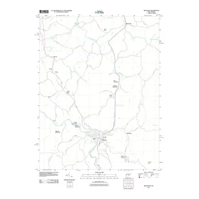
2011 Map of Belington
USGS Topo · Published 2011About this map
Belington sits as the central hub of this West Virginia landscape, where the Tygart Valley River snakes through the valley floor. The map documents several vanished communities including Lehigh, McLean, and Wilmoth, providing essential data for those tracing local family lineages. Transportation patterns are defined by the river and its crossings, such as Wilmoth Ford, and the presence of the Belington Post Office marks the civic center of the region.
Find a feature on this map
79 named features on this map. Tap any name to fly to it.
Don’t see what you’re looking for? This feature index may not catch every label — zoom into the map to look around manually.
Map Details
Editions of this 2011 Belington Map
This is the sole edition of this map. No revisions or reprints were ever made.
Other maps of this area

1886 · St. George
USGS Topo · 1:125,000

1889 · Beverly
USGS Topo · 1:125,000

1891 · St. George
USGS Topo · 1:125,000

1892 · Beverly
USGS Topo · 1:125,000

1893 · Buckhannon
USGS Topo · 1:125,000

1896 · Buckhannon
USGS Topo · 1:125,000

1897 · Buckhannon
USGS Topo · 1:125,000

1904 · Philippi
USGS Topo · 1:62,500

1907 · Belington
USGS Topo · 1:62,500

1909 · Elkins
USGS Topo · 1:62,500