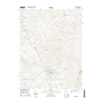
2014 Map of Belington
USGS Topo · Published 2014About this map
Belington and the Tygart Valley River corridor define this 2014 landscape, where the deep history of West Virginia's Highlands remains visible in the terrain. The map records several notable commemorative sites, including the Belington Veteran Memorial Bridge and the Laurel Hill Confederate Grave near the Barbour Co Randolph Co line, reflecting the area's strategic importance.
Find a feature on this map
70 named features on this map. Tap any name to fly to it.
Don’t see what you’re looking for? This feature index may not catch every label — zoom into the map to look around manually.
Map Details
Editions of this 2014 Belington Map
This is the sole edition of this map. No revisions or reprints were ever made.
Other maps of this area

1886 · St. George
USGS Topo · 1:125,000

1889 · Beverly
USGS Topo · 1:125,000

1891 · St. George
USGS Topo · 1:125,000

1892 · Beverly
USGS Topo · 1:125,000

1893 · Buckhannon
USGS Topo · 1:125,000

1896 · Buckhannon
USGS Topo · 1:125,000

1897 · Buckhannon
USGS Topo · 1:125,000

1904 · Philippi
USGS Topo · 1:62,500

1907 · Belington
USGS Topo · 1:62,500

1909 · Elkins
USGS Topo · 1:62,500