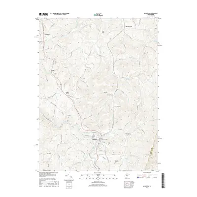
2016 Map of Belington
USGS Topo · Published 2016About this map
The Tygart Valley River anchors this Barbour County landscape, winding past the established settlement of Belington. The terrain is defined by the steep rise of Laurel Mtn and the long spine of Sand Ridge, creating a network of narrow hollows like Koontz Hollow and drainages including Sugar Cr and Bills Cr. The area reflects a deep historical layering, from the Laurel Hill Confederate Grave and Old Rights Cem to modern commemorations like the Belington Veteran Memorial Bridge.
Find a feature on this map
106 named features on this map. Tap any name to fly to it.
Don’t see what you’re looking for? This feature index may not catch every label — zoom into the map to look around manually.
Map Details
Editions of this 2016 Belington Map
This is the sole edition of this map. No revisions or reprints were ever made.
Other maps of this area

1886 · St. George
USGS Topo · 1:125,000

1889 · Beverly
USGS Topo · 1:125,000

1891 · St. George
USGS Topo · 1:125,000

1892 · Beverly
USGS Topo · 1:125,000

1893 · Buckhannon
USGS Topo · 1:125,000

1896 · Buckhannon
USGS Topo · 1:125,000

1897 · Buckhannon
USGS Topo · 1:125,000

1904 · Philippi
USGS Topo · 1:62,500

1907 · Belington
USGS Topo · 1:62,500

1909 · Elkins
USGS Topo · 1:62,500